
57
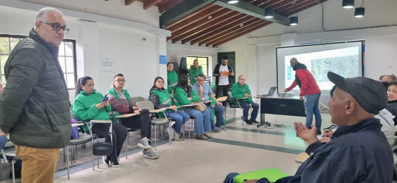
The Medellín Cadastre, in compliance with its own resolution of May 22, is moving forward with the cadastral update of the Santa Elena district. “We are making progress on the values of the areas, with the OIME (Medellín Real Estate Observatory), a very useful input, which we will present in a few months. We are also working with orthophotography, which combines the detail of an aerial photograph with the geometric properties of a plan. It is used in geology, geography, cartography, photogrammetry, urban planning, architecture, archaeology, among other sciences. For the Santa Elena area, we will not do a census with visitors, but with these two tools,” explained the Territorial Management and Control of Medellín.